Notice·Korea National Park Service
Jirisan's Guryong Valley trail reopens Oct 9 — waterfall route restored
Summary
The 0.5 km section of the Guryong Valley trail in Jirisan National Park, closed since a rockfall in May, reopens at 4 a.m. on Friday 9 October 2026 after repair work. Walkers can once again follow the 3.1 km valley route from the Guryong ranger station to Guryong Falls, about two hours each way, and the park service will keep patrolling the repaired stretch. There is nothing to book and no entrance fee — the only catch for visitors is getting there, since the trailhead is outside Namwon and public transport to it is sparse.
Article
In short
- The closed section of Jirisan's Guryong Valley trail (Jijudae rest area to Bipokdong rest area, 0.5 km) can be walked again from 4 a.m. on Friday 9 October 2026.
- It had been shut since 21 May 2026, when a rock of about 1.5 tonnes fell roughly 2 km above Samgok Bridge on the way to Guryong Falls; the hazard has been removed, the path repaired and the section inspected.
- The Korea National Park Service's Guryong Valley Course runs 3.1 km from Guryong Samgok (Guryong ranger station) to Guryong Falls, takes about two hours and is rated moderate.
- There is no booking and no entrance fee; enquiries go to the Jirisan National Park Jeonbuk Office on +82 63-630-8900 (Korean).
- For a visitor, the hard part is the approach: the trailhead is a taxi ride from Namwon Station, and on-site notices are in Korean.
Guryong Valley in Jucheon-myeon, Namwon, is a streamside walk up the western flank of Jirisan to Guryong Falls, counted first among the Eight Views of Namwon. A rockfall in May cut the middle 0.5 km and put the falls out of reach. On 6 October 2026 the park's Jeonbuk office announced the repairs were done and that the trail would reopen at 4 a.m. on Friday 9 October — just ahead of the autumn foliage season.
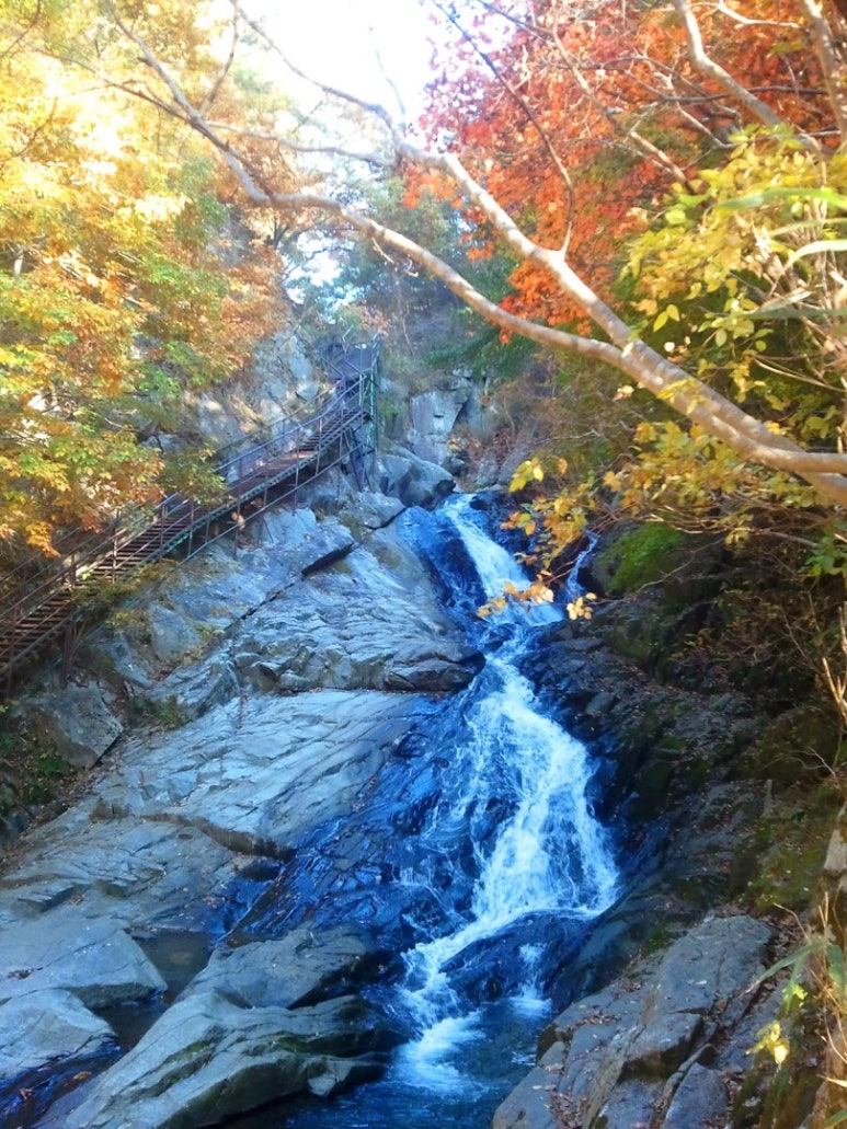
This article is based on the park service's press release and its course page, cross-checked against regional news reports and the Encyclopedia of Namwon Culture.
Why was the trail closed for nearly five months?
On 21 May a rock of about 1.5 tonnes came down about 2 km above Samgok Bridge (the valley's third bend), heading towards the falls. No injuries were reported, but more could fall from the same slope, so the park service immediately closed the 0.5 km between the Jijudae and Bipokdong rest areas.
- Emergency measures — barrier lines and safety ropes went up and warning banners were posted.
- Repairs — loose rock that could still fall was cleared and the trail facilities were refitted.
- Inspection and reopening — after an on-site safety check, the section reopens at 4 a.m. on 9 October.
- After reopening — rangers will keep patrolling and monitoring the stretch, with closer checks in heavy rain and the spring thaw, when rockfall risk is highest.
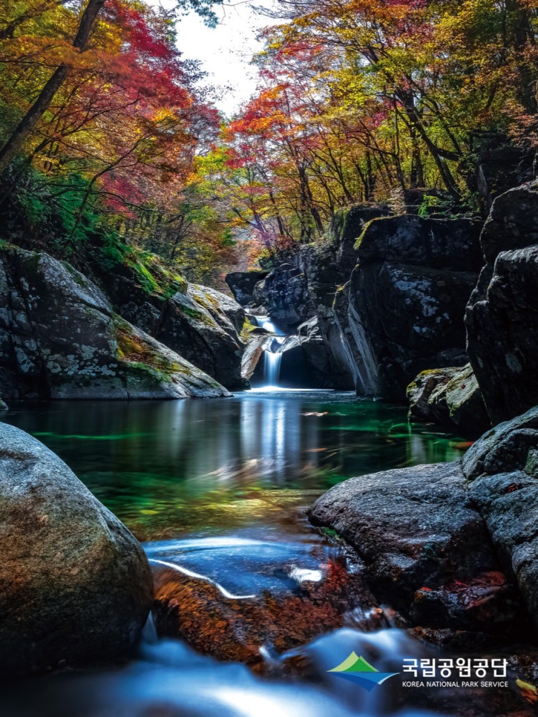
How long is the Guryong Valley Course, and how hard is it?
On the park service's site the route is called the Guryong Valley Course. It starts at Guryong Samgok, where the Guryong ranger station stands, follows the stream upward past Yuseondae and Bipokdong, and ends at Guryong Falls. The section that was closed lies in the second half, so until now walkers had to turn back before reaching the falls.
Guryong Valley Course at a glance (Korea National Park Service course information)
- Route
- Guryong Samgok (Guryong ranger station) → Yuseondae → Bipokdong → Guryong Falls
- Distance
- 3.1 km (one way)
- Time
- About 2 hours
- Difficulty
- Moderate
- Trip
- Day walk
- Reopened section
- Jijudae rest area – Bipokdong rest area, 0.5 km
Walking times vary by source
The park service gives about two hours, but travel articles quote anything from just over an hour to the end point to two hours return from the car park, depending on where they start and how fast they walk. It is a rocky streamside path with steps, so allow half a day for the round trip.
What is Guryong Falls, and why "nine dragons"?
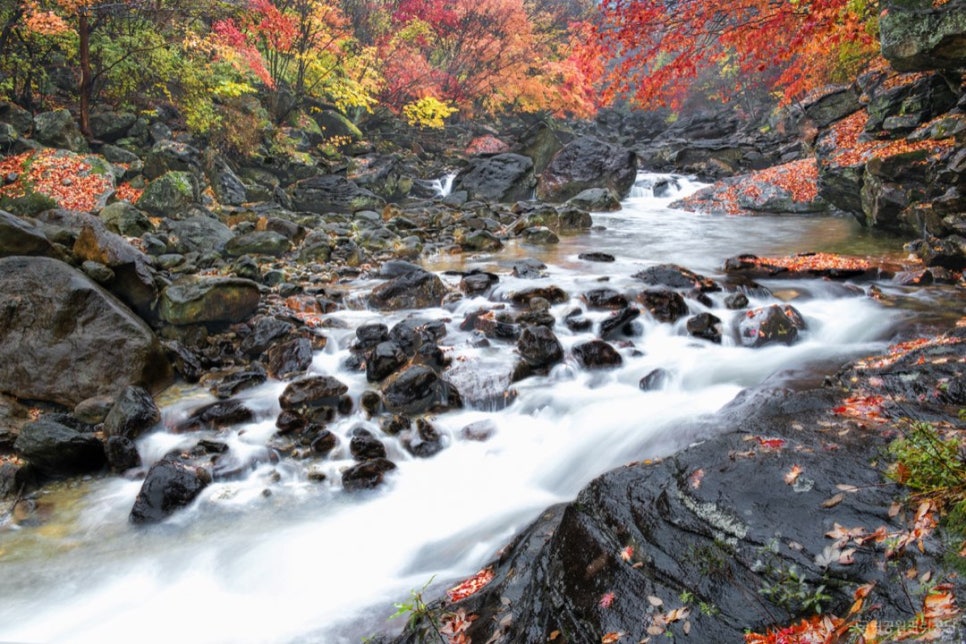
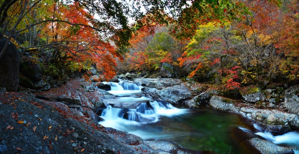
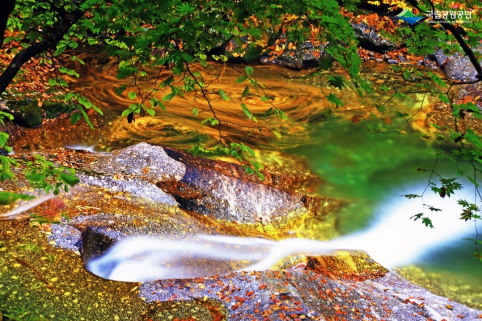
According to the Encyclopedia of Namwon Culture, Guryong Falls is the ninth and last of the valley's nine named bends, and it is counted first among the Eight Views of Namwon. Rather than dropping straight down, the water swirls in a pool and then slides down the rock face. The name, "nine dragons", comes from a legend of nine dragons living in the valley; there are in fact more than nine bends, but nine — the largest single digit — was chosen to stand for them all.
How do you get to Guryong Valley?
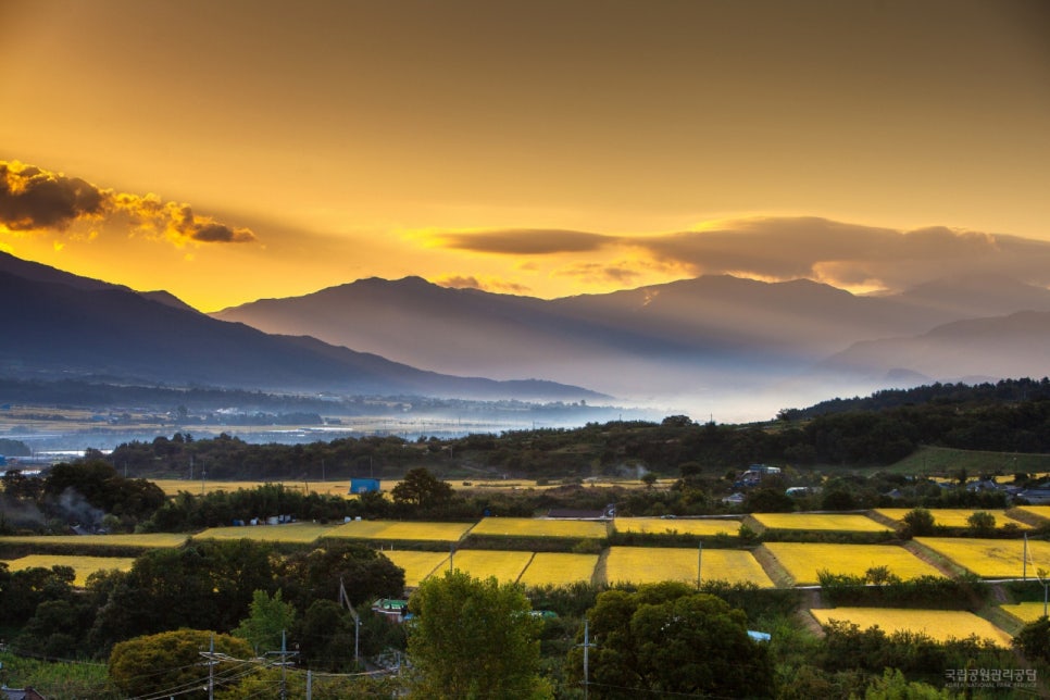
- Trailhead — the course starts at the Guryong ranger station (Guryong Samgok) on the Jucheon-myeon side of Namwon. You can also walk it downhill from the falls end.
- By car — leave the Gwangju–Daegu Expressway at Namwon IC and head for Jucheon-myeon. The park's facility listing names Guryong Falls car park among the nearby car parks.
- Charges — there is no national park entrance fee. Parking charges are not stated in official material; check on site.
- Public transport — buses from Namwon Station and Namwon Bus Terminal towards Jucheon are infrequent; check the current Namwon city timetable before relying on one.
Will there be autumn colour right after the reopening?
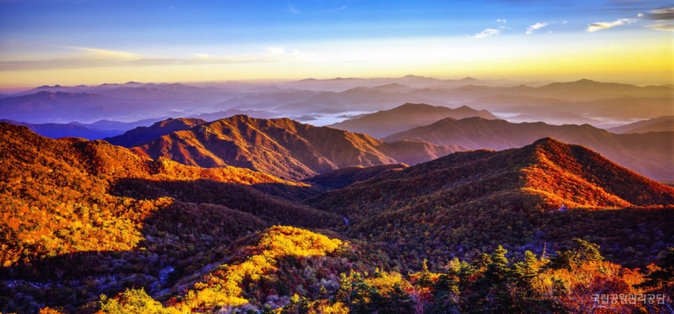
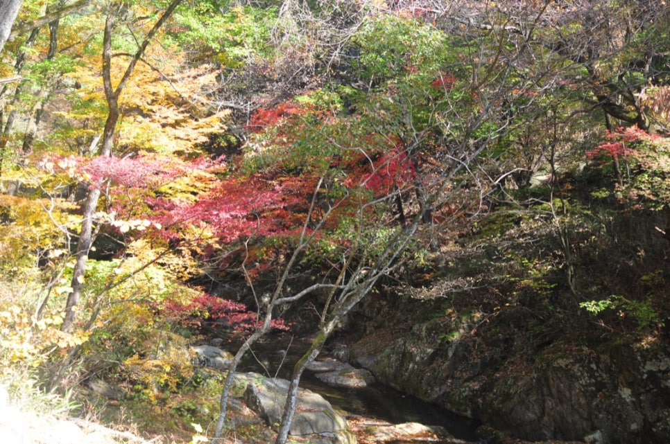
9 October is before Jirisan's foliage reaches the valleys. The colour starts on the ridges and arrives in the valleys later, so if you want a red-and-gold stream, go later than the first week. The timing shifts every year and there is no fixed date to give, so check the Korea Meteorological Administration's foliage reports and the park's closure notices before you set off.

Reopening the section does not mean the risk is gone — that is why the patrols continue. Stay on the marked trail, and after heavy rain check whether the section has been closed again before you go.

Getting there from Seoul, and what to expect on the day
The practical route without a car is the train: KTX services on the Jeolla Line run from Yongsan Station in Seoul to Namwon Station, and from there the Guryong ranger station is a short taxi ride into Jucheon-myeon. Local buses towards Jucheon exist but run rarely, so for a day trip a taxi both ways (agree a pick-up time with the driver) is the reliable plan. Nothing needs booking and no Korean phone number is required. Trail junction signs show place names in English, but closure banners and safety notices are in Korean — if the valley is closed again after heavy rain, the sign at the gate will say so in Korean only, so a quick translation-app photo of any banner is worth the few seconds. There are no shops along the valley itself; bring water and snacks from Namwon.
Frequently asked questions
- Q. When does Jirisan's Guryong Valley trail reopen?
- The section of the Guryong Valley trail closed by rockfall reopens at 4 a.m. on Friday 9 October 2026. It can be closed again in bad weather, so check the Korea National Park Service's closure notices before you set off.
- Q. Why was the Guryong Valley trail closed?
- On 21 May 2026 a rock of about 1.5 tonnes fell roughly 2 km above Samgok Bridge on the way to Guryong Falls, and the 0.5 km between the Jijudae and Bipokdong rest areas was closed in case more fell.
- Q. How long does the Guryong Valley Course take, and how hard is it?
- By the park service's figures it is 3.1 km one way from Guryong Samgok (Guryong ranger station) to Guryong Falls, about two hours, rated moderate, and done as a day walk.
- Q. Do I need to pay or book to walk Guryong Valley?
- No. There is no national park entrance fee and no booking for the Guryong Valley trail. Parking charges, if any, are posted on site.
- Q. Where is Guryong Falls?
- At the top of Guryong Valley — its ninth bend — inside Jirisan National Park in Jucheon-myeon, Namwon, Jeonbuk State. It is counted first among the Eight Views of Namwon. Enquiries: Jirisan National Park Jeonbuk Office, +82 63-630-8900 (Korean).
- Q. Is it worth going if I do not read Korean?
- Yes, if you can get to the trailhead. The walk itself needs no Korean: there is nothing to book, junction signs give place names in English, and the path simply follows the stream to the falls. The Korean-only parts are closure banners and safety notices, so check the park's closure status (or ask your accommodation to) on the day, especially after rain.
Editor's note · Kang Shin-wook
For anyone planning an autumn walk on the Namwon (Jeonbuk) side of Jirisan: the reopening date and the course figures, checked against the Korea National Park Service's own pages. For how Korea's national parks work — entry, shelters, campsite booking — see the Korea National Park Service visitor guide.
Sources
- Official notice (Korean)
- Korea National Park Service — Jirisan trail courses: Guryong Valley Course (Korean)
- Jeonbuk Domin Ilbo report on the reopening (Korean)
- iNews24 report on the reopening (Korean)
- Encyclopedia of Namwon Culture — Guryong Falls (Korean)
Written in our own words from the sources above, never copied from them, and every date and price checked against at least two pages. The originals are in Korean. Spotted a mistake? Ask for a correction.
Latest from Korea National Park Service
 Korea National Park ServiceProgramme17 October 2026On nowFreeChiaksan: free weekend shuttle to Guryongsa — to 15 Nov
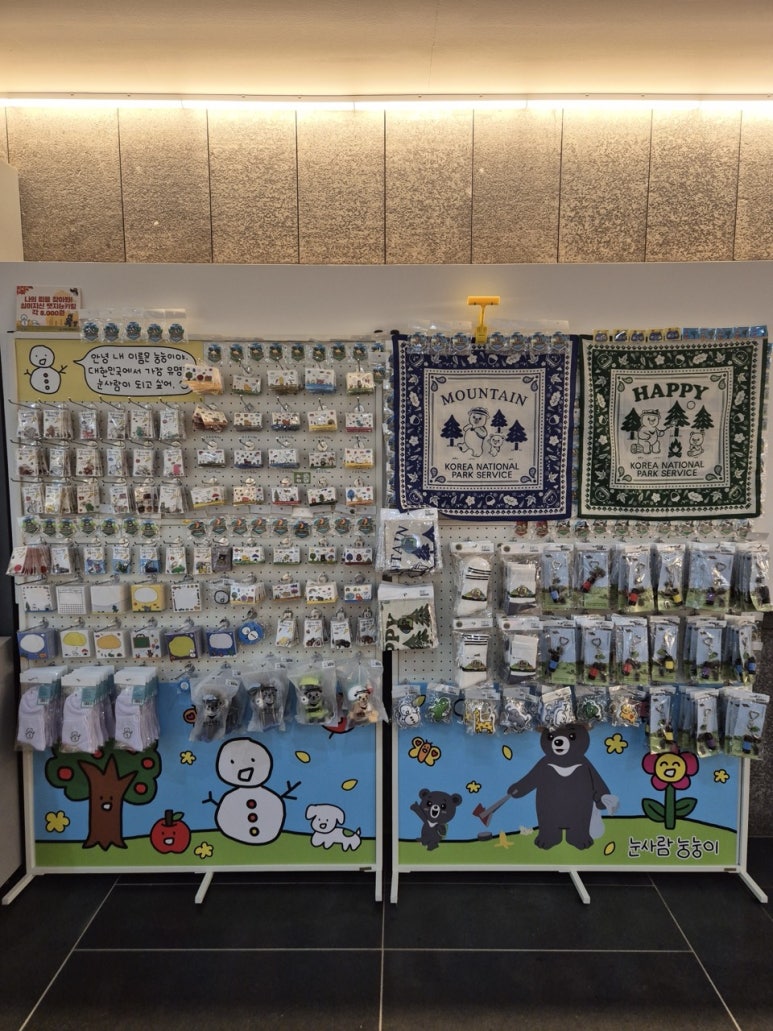 Korea National Park ServiceEvent13 October 2026On nowFreeNungnungi pop-up at Juwangsan National Park's shop — 23 Oct–15 Nov, preview 16–18 Oct
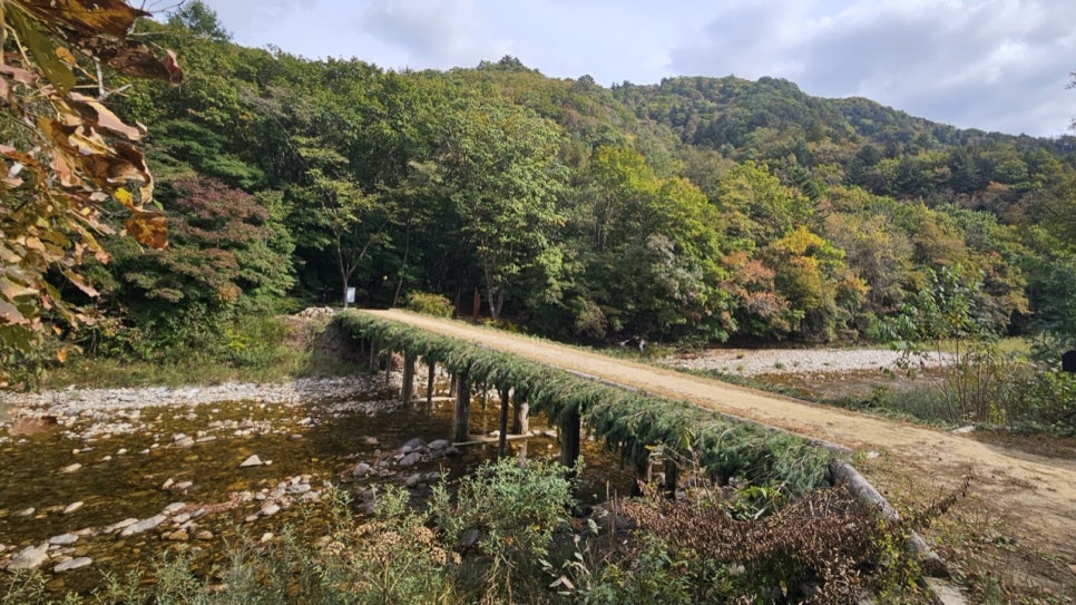 Korea National Park ServiceProgramme7 October 2026On nowOdaesan: a car to Sangwonsa for less-mobile visitors — to 15 Nov
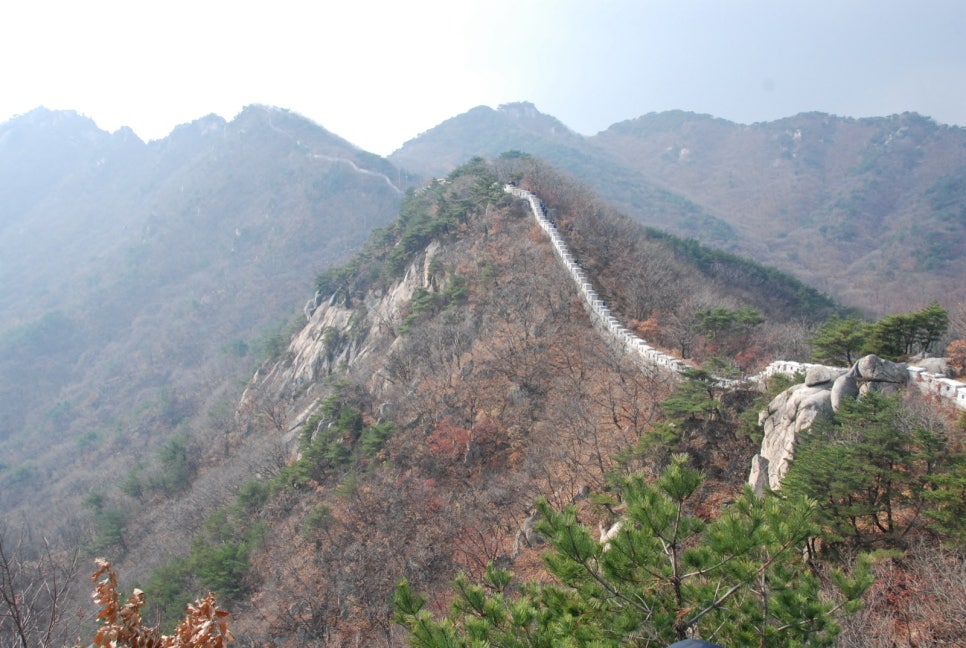 Korea National Park ServiceProgramme4 October 2026Ending soonBukhansan City & Nature Tour from Gwanghwamun — 4 Thursdays in October